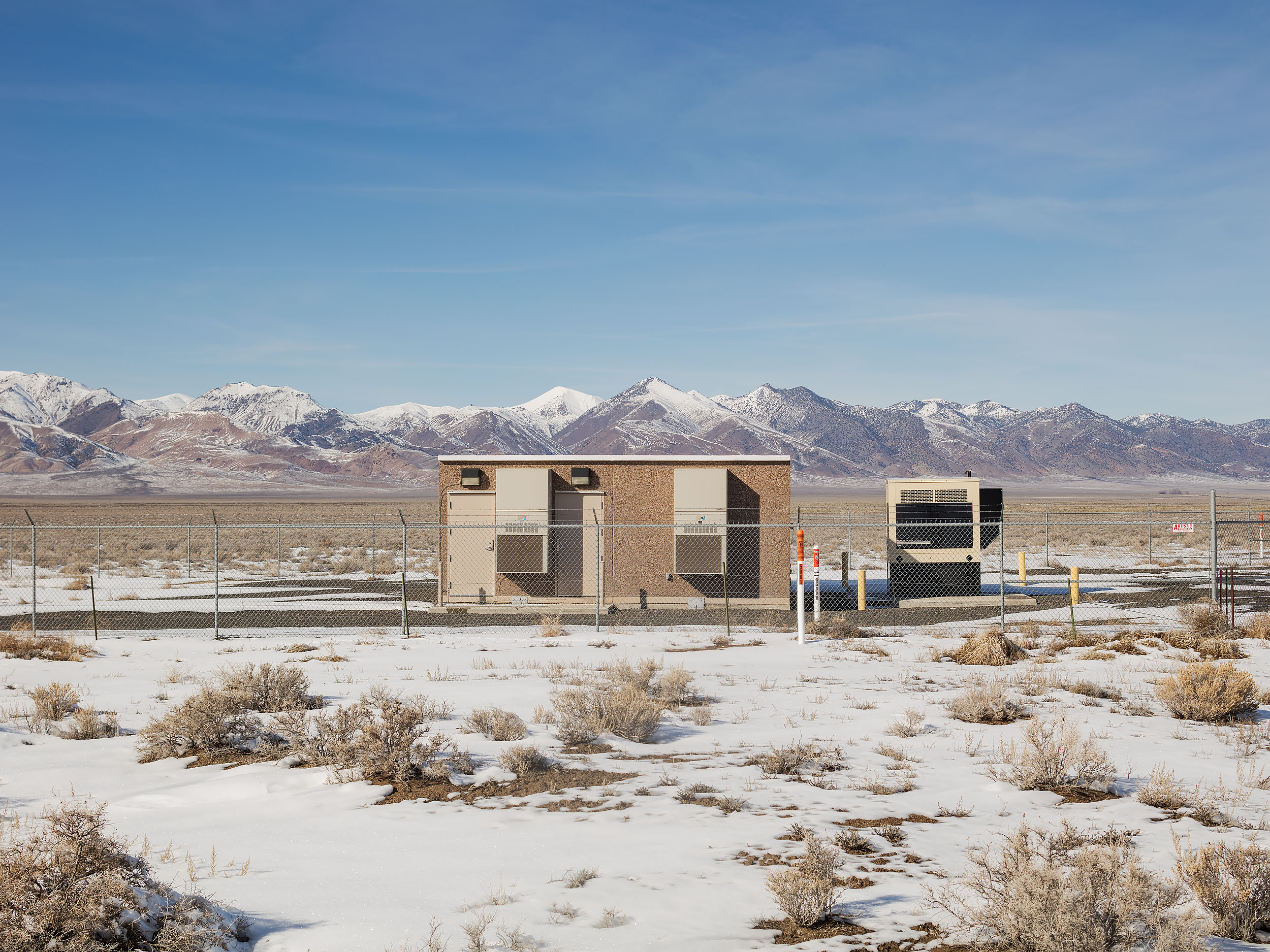
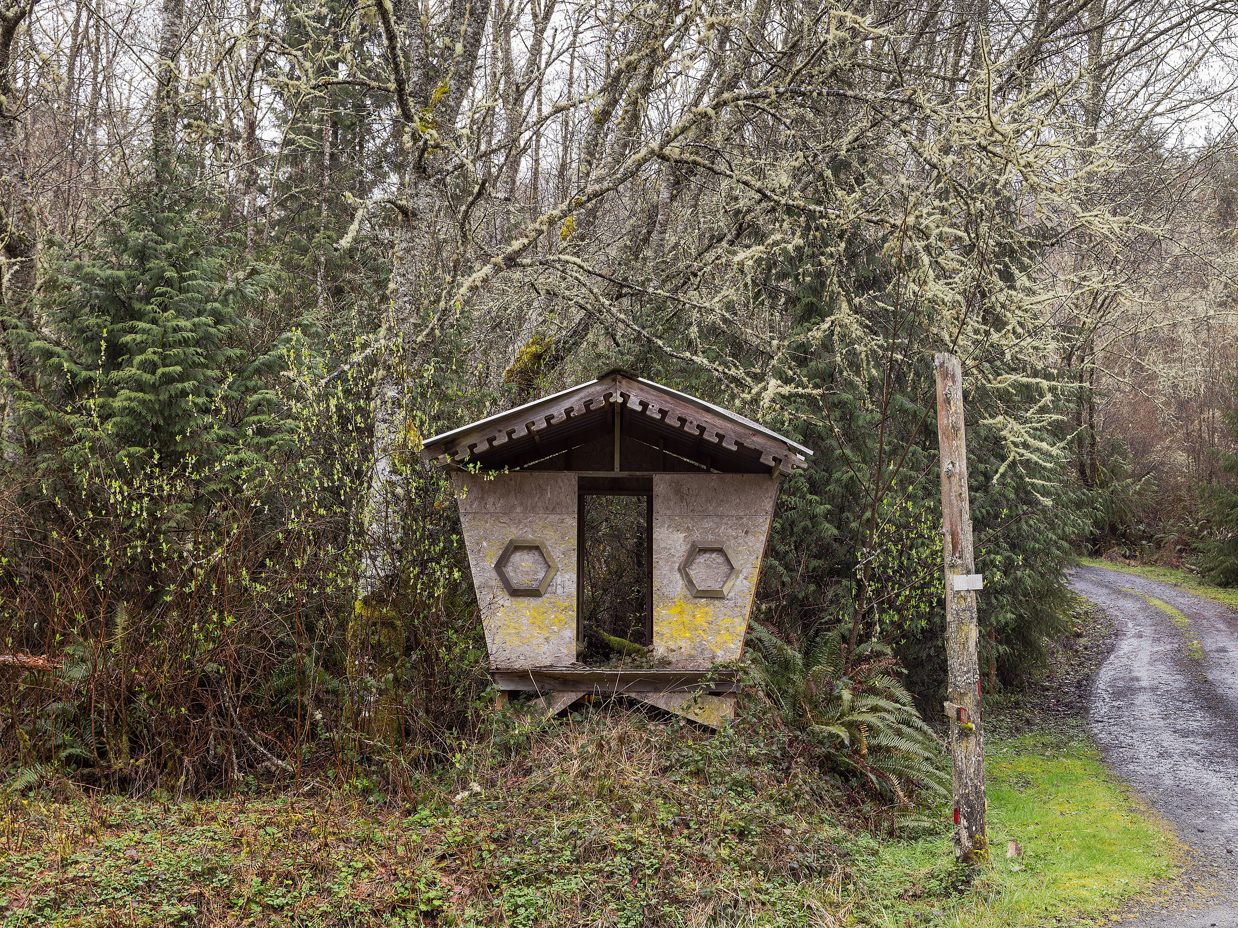
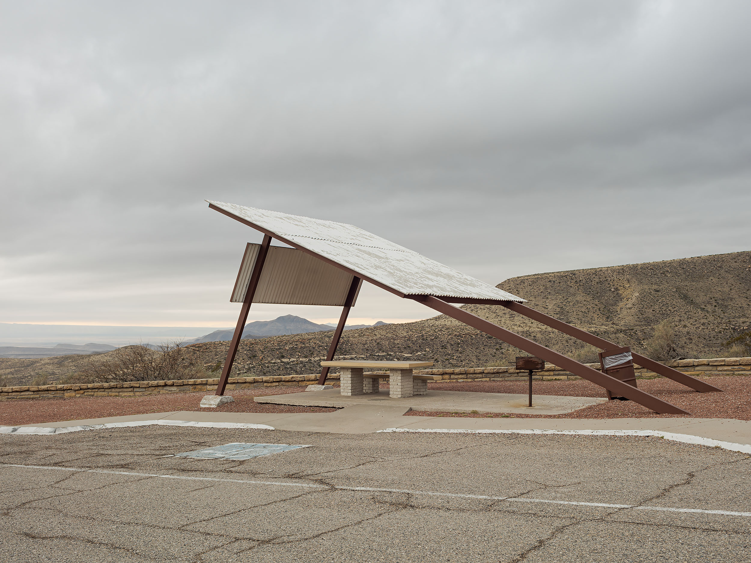
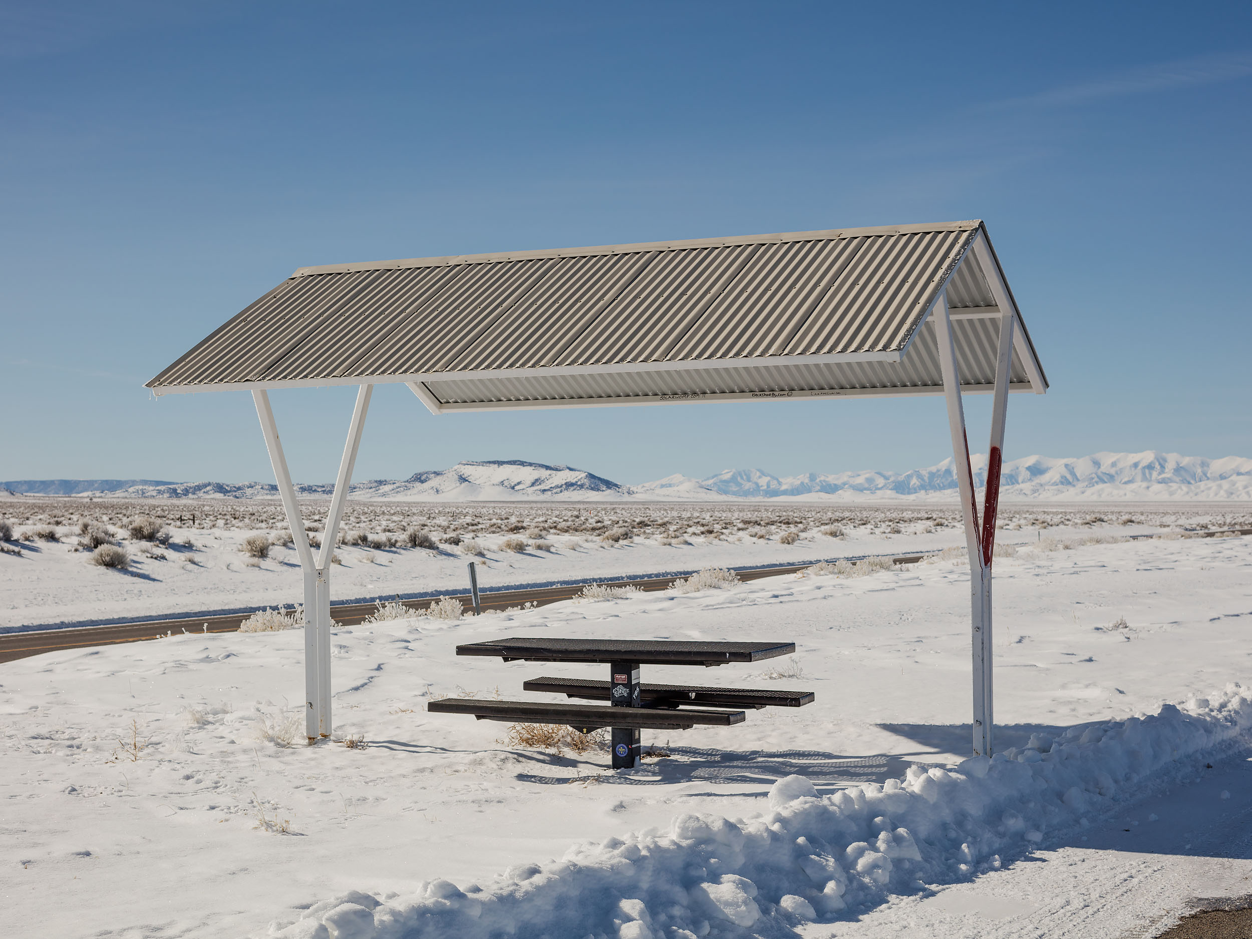
Landmarks 2015-2018 Project Statement
Mysterious Pebble Mounds along the Extraterrestrial Highway, SR-375 - Tonopah, NV
Solar panel mounted to American windmill frame - Datil, NM
Braced saguaro cactus along AZ-86 - Sells, AZ
Iron Mountain Sign Pole on CA-62 -Vidal, CA
Crescent Dunes Solar Energy Project, Heliostats and Power Tower - Nye County, NV
VHF Aircraft Beacon - Marfa, TX
Montrose Rod & Gun Club - Montrose, CO
USGS Stream Gauging Station - Mono County, CA
Apiary along CA-166 - Santa Maria, CA
Waste Management Dumpster Yard and Sangre De Cristo Mountains - Taos, NM
Gravel mounds as mountain range along Hwy 20 - Correctionville, IA 51016
Interstate 90 Road Cut - Langtry, TX
Fence along US-160 - Navajo Nation Reservation, AZ
Morenci Mine and Apache-Sitgreaves National Forests - Greenlee County, AZ
Little Devil's Slide Bunker - Half Moon Bay, CA
Smith Rock State Park Parking Lot - Terrebonne, OR
Cinder Pit Mining Scar - Apache County, AZ
Onion Crop at Grimmway Farms - New Cuyuma, CA
Transmission Tower and Fisherman - Whiskeytown Lake, CA
Cross, antenna, and/or flagpole along SR-33 - Los Padres National Forest, CA
Henry's True Value - Los Ojos, New Mexico
Terrestrial Microwave Antennas - Hudspeth County, TX
Sloppy road markings on the CA/NV border - Mono County, CA
El Capitan Pass Runaway Truck Ramp - Globe, AZ
Morenci Mine Scenic View Area US-191 - Clifton, AZ
Cluster Box Units (CBU) along Turquoise Trail National Scenic Byway - Los Cerrillos, NM
Dar al Islam Islamic Education Center Structure - Rio Arriba County, NM
Utility Lines over Arroyo - Tularosa, NM
Visibility Marker Balls at the Ritschard Dam - Grand County, CO
Pipeline trench - Presidio, TX
Indian Route 26 from above - Nazlini, AZ
Abengoa Solar, Solana Parabolic Trough Plant - Gila Bend, AZ
San Gorgonio Pass Wind Farm and San Jacinto Mountains - Whitewater, CA
Nevada Energy Facility - Churchill County, NV
School Bus Shelter - Port Ludlow, WA
Picnic Area along US-180 - Culberson County, TX
Bean Flat Rest Area off of Interstate 50 - Eureka, NV
United States Navy Facility - Fallon, NV
Very Large Array Walking Tour - Socorro, NM
